Looking for a place where you can enjoy open space, hop on a regional bike trail, and still stay connected to the rest of Greene County? Cedarville offers that balance in a way that stands out. If you are thinking about buying, selling, or simply learning more about the area, understanding its outdoor lifestyle can help you see why this small village draws so much interest. Let’s dive in.
Cedarville’s Outdoor Appeal
Cedarville is described by Greene County as a farming community and a close-knit village. It is also located about 10 minutes from Xenia and Yellow Springs, which helps explain why the area feels quiet and rural while still being connected to a larger recreation network.
That setting matters when you are thinking about real estate. Cedarville has an older village core, a long local history, and easy access to parks, trails, and scenic day-trip spots. For many buyers, that mix creates a lifestyle that feels grounded and flexible at the same time.
Bike Trails Near Cedarville
One of the biggest lifestyle draws around Cedarville is the trail system. You are not limited to a short local path or a single park loop. Instead, you are close to a broader paved network that connects multiple trail towns and recreation hubs across the region.
Little Miami Scenic Trail
The Little Miami Scenic Trail is the region’s signature paved multi-use trail. It runs 78 miles from Newtown to Springfield and passes through Greene County communities including Xenia, Old Town, Yellow Springs, and Spring Valley.
This trail is part of several larger routes, including the Buckeye Trail, the North Country National Scenic Trail, and the Ohio-to-Erie Trail. For you, that means a ride near Cedarville can be as simple or as ambitious as you want it to be.
Xenia Station Connection
Xenia Station is the main regional trail hub where four trails meet. If you live in Cedarville or the surrounding countryside, this gives you a practical gateway into a much larger system.
That regional connection is a major plus for people who enjoy biking for exercise, transportation, or weekend recreation. It adds everyday convenience and opens up more options beyond the village itself.
Ohio to Erie Trail Access
The Ohio to Erie Trail adds another important layer of access. In the Miami Valley, this corridor runs 29 miles and follows the Little Miami Scenic Trail from Newtown to Xenia before continuing northeast on the Prairie Grass Trail.
Greene County Parks & Trails and Miami Valley Trails show Cedarville as part of this corridor, with access at Massie Creek Park on Barber Road and Cedarville Community Park on East Street. That gives residents local entry points without needing to start every ride somewhere else.
Creekside Trail and Regional Reach
The Creekside Trail runs 15 miles from Eastwood MetroPark in Dayton to Xenia. It links the Dayton-side trail network to the Xenia hub and passes recreation points like Beavercreek Station and James Ranch Park.
For Cedarville residents, this means the local bike experience connects outward in a meaningful way. You are not just near one trail. You are near a system that supports longer rides and broader regional movement.
Trail Plans for the Future
Cedarville’s trail value is not only about what exists today. Greene County’s Master Trails Plan shows that the county and parks district are continuing to focus on bike and pedestrian pathways to improve safety and connectivity.
For Cedarville, the plan includes a shared-use path on SR 72 to connect Clifton to the Ohio-to-Erie Trail. It also calls for a separated bike lane on US 42 to connect riders into downtown Cedarville.
That kind of planning matters if you are evaluating long-term livability. It suggests that trail access and safer connections are part of the area’s future, not just a current bonus.
Parks and Nature Around Cedarville
Beyond biking, Cedarville offers a strong mix of village parks, natural preserves, and nearby state park destinations. That makes it appealing if you enjoy spending time outdoors in different ways throughout the year.
Indian Mound Reserve
Indian Mound Reserve is one of the standout outdoor destinations near Cedarville. Greene County Parks & Trails describes it as three parks in one: Peterson Park, Williamson Mound, and Cedar Cliff Falls.
The reserve includes 169 acres, eight trails, a waterfall, unique rock formations, and a restored pre-1825 log house. If you want a place that combines hiking, scenery, and local history, this is one of the clearest examples of Cedarville’s outdoor character.
Village Outdoor Amenities
Cedarville also has everyday outdoor options right in the village. The village park on East Street is open from dawn to dusk, and the village lists a bike path, community dog park, and veterans memorial at Palmer Drive.
These smaller amenities may seem simple, but they add convenience to daily life. You can enjoy outdoor time close to home even when you are not planning a longer trip.
John Bryan State Park and Clifton Gorge
A short drive from Cedarville, John Bryan State Park and Clifton Gorge expand the recreation options even more. Greene County’s visitor information describes John Bryan as a 752-acre state park surrounding Clifton Gorge, with boating on the Little Miami River, picnicking, an 18-hole disc golf course, 10 hiking trails, six mountain biking trails, rock climbing, rappelling, and cross-country skiing.
Clifton Gorge is described as a 268-acre preserve with two miles of the Little Miami River, dramatic dolomite and limestone gorges, and strong spring wildflower viewing. Together, these destinations make it easy to enjoy a wider outdoor routine without a long drive.
Great Council State Park
Great Council State Park adds another nearby destination in the broader Cedarville area. The National Park Service identifies it as Ohio’s 76th state park, located in Xenia, with interpretive exhibits, accessible amenities, and programming focused on Shawnee history and the Little Miami River corridor.
If you plan to ride to or near that area, there is one practical note to remember. Miami Valley Trails reports that the Little Miami Scenic Trail is currently closed near Brush Row Road while a bridge linking the trail to Great Council State Park is under construction, so checking current detour information before you head out is a smart move.
What This Means for Homebuyers
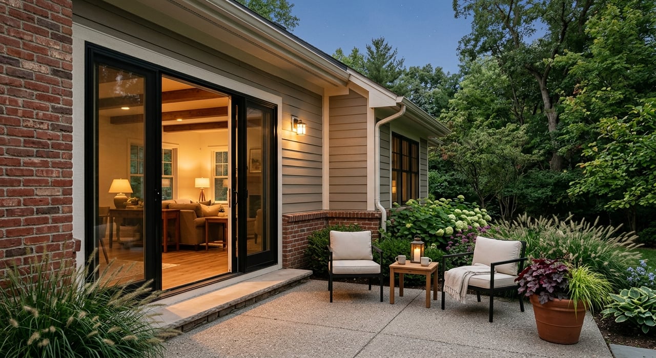
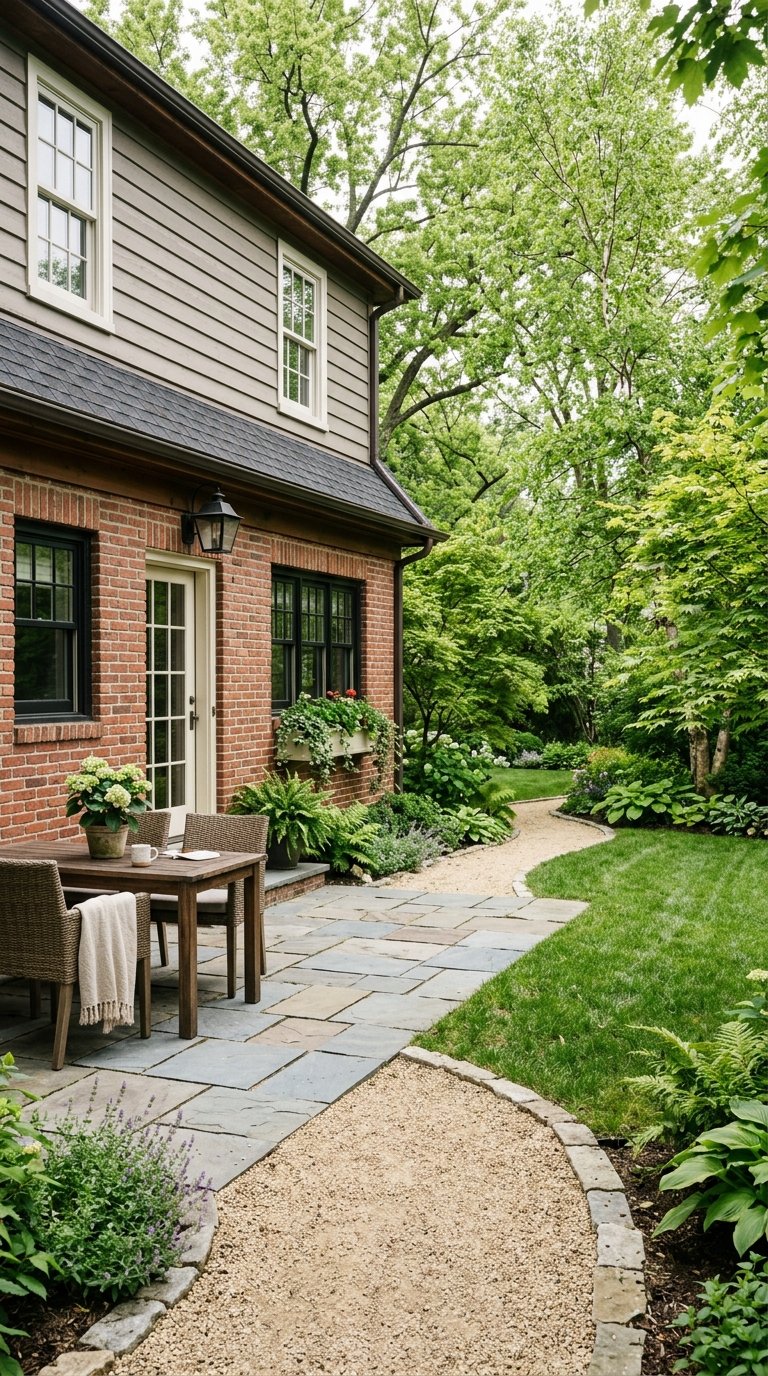
If outdoor access is part of your home search, Cedarville offers more than one lifestyle option. Local zoning and village history point to a mix of in-town homes, some denser residential areas, and a broader rural perimeter with farmhouses, acreage properties, and spacious homesites.
Cedarville Township zoning shows agricultural, rural residential, single-family, two-family, multi-family, manufactured-home, community business, and light industrial districts. The RU rural residential district is intended for spacious homesites at roughly three acres per dwelling unit with on-site water and wastewater in outlying areas.
That gives you choices depending on how you want to live. You may prefer a home closer to the village and park access, or you may want more land and a quieter setting while staying within reach of the regional trail network.
What This Means for Sellers
If you own property in or around Cedarville, the outdoor lifestyle is an important part of how buyers may view your location. Access to trails, village amenities, scenic preserves, and nearby state parks can help shape how people understand the area’s day-to-day appeal.
For many buyers, lifestyle is a major part of the decision, not just square footage. Clear, local positioning can help show how a home fits into Cedarville’s blend of small-town living and outdoor access.
Why Cedarville Stands Out
Cedarville stands out because it offers a quieter setting without feeling cut off. You have a historic village, a rural backdrop, access points to the Ohio to Erie corridor, a short drive to major trail hubs, and nearby preserves and parks that support an active lifestyle.
That combination is not the same as dense suburban living, and that is exactly the point for many buyers. If you want room to breathe while staying connected to Greene County’s recreation network, Cedarville deserves a closer look.
Whether you are buying your next home, preparing to sell, or comparing towns across the greater Dayton area, local context matters. If you want practical guidance on Cedarville, surrounding Greene County communities, or how to position your property in today’s market, connect with Michele Hines for responsive, local support.
FAQs
What bike trails can you access around Cedarville, Ohio?
- Cedarville is connected to the broader regional trail system through nearby access to the Little Miami Scenic Trail and the Ohio to Erie Trail, with local access points at Massie Creek Park on Barber Road and Cedarville Community Park on East Street.
What outdoor parks are near Cedarville, Ohio?
- Notable outdoor destinations near Cedarville include Indian Mound Reserve, Cedarville Community Park, John Bryan State Park, Clifton Gorge, and Great Council State Park in nearby Xenia.
What makes Cedarville, Ohio appealing for outdoor living?
- Cedarville offers a quiet village setting, nearby regional bike trail access, local park amenities, and short drives to larger preserves and state parks, giving you a strong mix of everyday convenience and scenic recreation.
What types of homes are found around Cedarville, Ohio?
- Local zoning and village history suggest a mix of homes in the village core, some denser residential pockets, and rural residential or agricultural areas outside town that may include larger lots, farmhouses, and acreage-style properties.
Are bike and pedestrian improvements planned in Cedarville, Ohio?
- Yes. Greene County’s Master Trails Plan includes recommendations for a shared-use path on SR 72 connecting Clifton to the Ohio-to-Erie Trail and a separated bike lane on US 42 connecting riders into downtown Cedarville.